Overview:
Theodore Roosevelt National Park in westernmost North Dakota is one of the most isolated, peaceful, and underrated National parks in the contiguous 48. Here you will find my guide to exploring it, including suggested places to explore, hike, photograph, and stay. Enjoy!

Looking out over the Little Missouri from the Caprock Coulee trail in the North Unit
Named after the 26th President, Theodore Roosevelt National Park it is the only National Park named after an individual -- an appropriate honor for Teddy, who saved 230 million(!) acres of public land during his presidency. Today, the park includes a portion of the land once ranched by Roosevelt, as well as large swaths of colorful badlands and prairies along the Little Missouri River.

Wind Canyon Trail in the South Unit
It’s possible to “see” much of the park in a day, but I’d recommended a minimum of 3-4 to hike in the North Unit, spend time with the wild horses and bison in the South Unit, and to go on pilgrimage to the site of Teddy’s old Elkhorn Ranch. Taking it slow has the extra benefit of giving one the chance to settle into the rhythms of the river and high prairie that so changed Teddy, and thereby so changed our country’s relationship with its wild places.

Sunset on the Wind Canyon Trail in the South Unit
Navigating Your Adventure
The park is spread over three units, which are more than an hours’ drive apart from each other. So, figuring out what’s important to you in advance is important as decide where to stay and how to best spend your time.
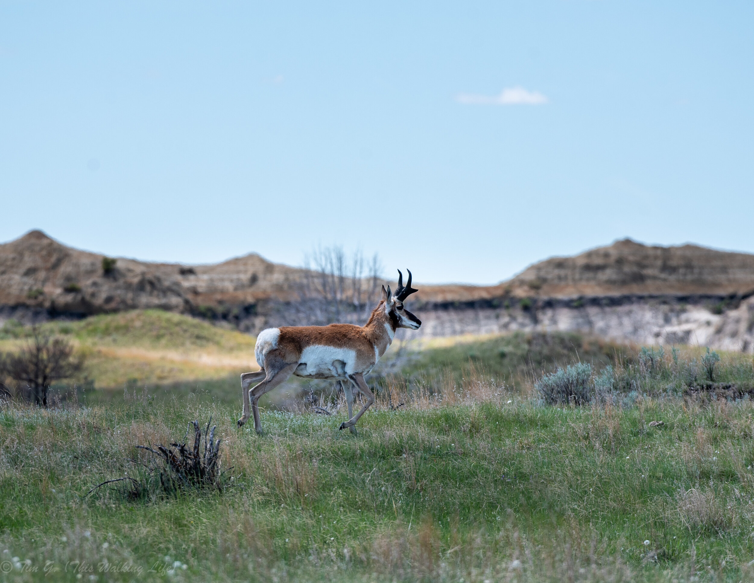
South Unit (most popular part of the park): accessible from the town of Medora, the South Unit is the most developed and easiest to explore part of the park. Most activities are directly off the 36-mile scenic loop which has multiple pullouts and trails for short hikes (my favorite was the <1 mile Wind Canyon trail). This drive is a great way to see a diversity of views and lots of wildlife (I saw wild horses, bison, prong horns, mule deer, and prairie dogs all from my car). There are also several longer hikes available in this unit (discussed below), and some great picnic spots (Cottonwood campground was my favorite).
During the heat of the day I enjoyed allocating time to exploring the town of Medora. It’s a charming, cute touristy town. There you’ll find historical sites from when Roosevelt lived in the area, plenty of themed stores, a number of good restaurants, and even the North Dakota Cowboy Hall of Fame. I especially liked eating at the Badlands Pizza and Saloon and Ice cream Parlour.
I’d recommend this section of the park for the wildlife lovers, families, less-mobile explorers.

Overlook of the Little Missouri. The large solo male Bison appeared unexpectedly as I was setting up my shot. I backed away slowly and gave him plenty of room.
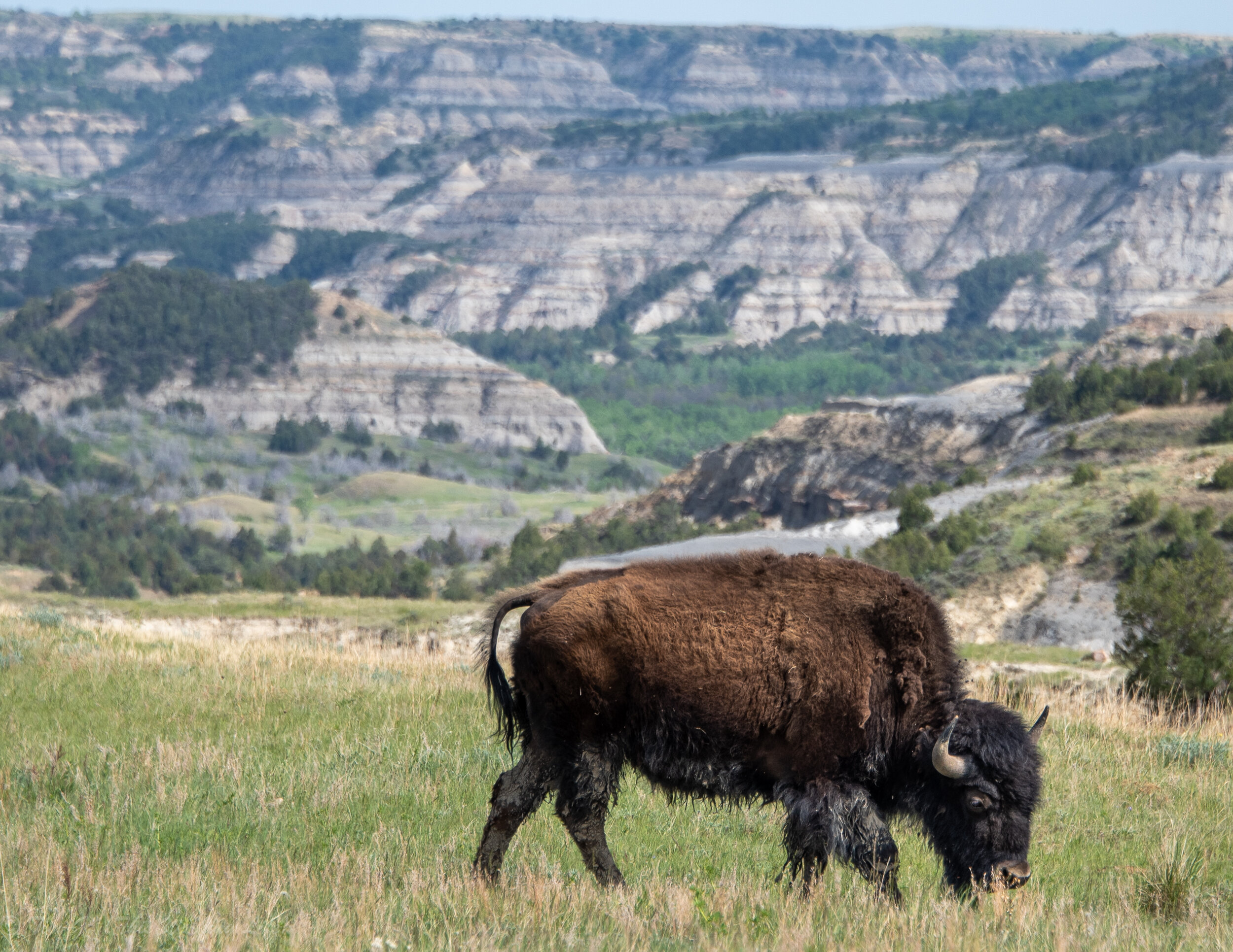
North Unit (most scenic, but fewer amenities and wildlife): 70 miles from Medora is the rugged and picturesque North Unit. All campgrounds and hikes are accessible off the 14 mile (28 mile out-and-back) scenic drive that climbs from the river up to several stunning views from the top of the badland buttes which look over Cottonwood lined oxbows of the Little Missouri far below. My favorite long hikes and views were nearly all in this unit of the park. The park is full of large bison herds (and lots of huge bull snakes!), though overall it had fewer large mammals than the South Unit.
I’d especially recommend this unit for backpackers, adventurers, peace seekers, and landscape photographers.

Off trail exploring in the North Unit
Elkhorn Ranch Unit: this undeveloped site is home to where Teddy Roosevelt’s ranch once stood. Coming to the spot felt arriving at a holy site of American environmental history.
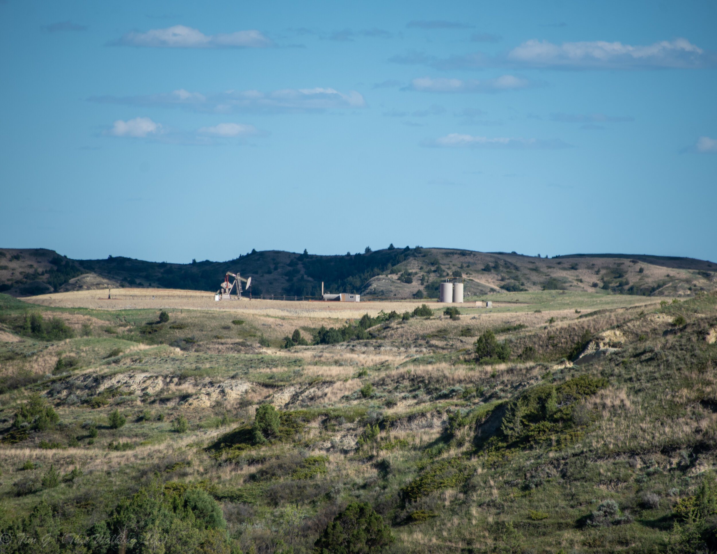
The unit is tiny by National Park standards, and nestled amid private ranches (many of which have been converted to oil exploration in recent years).
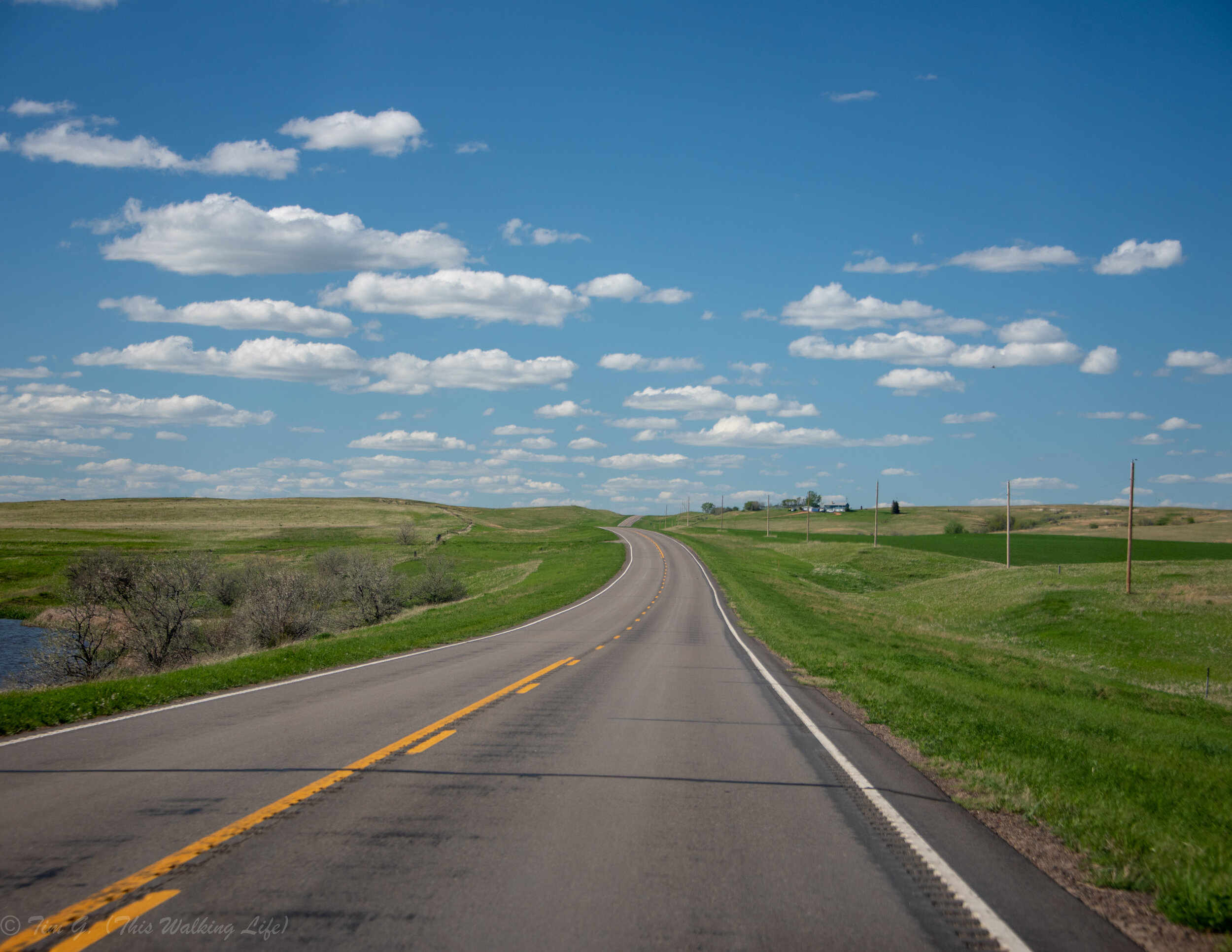
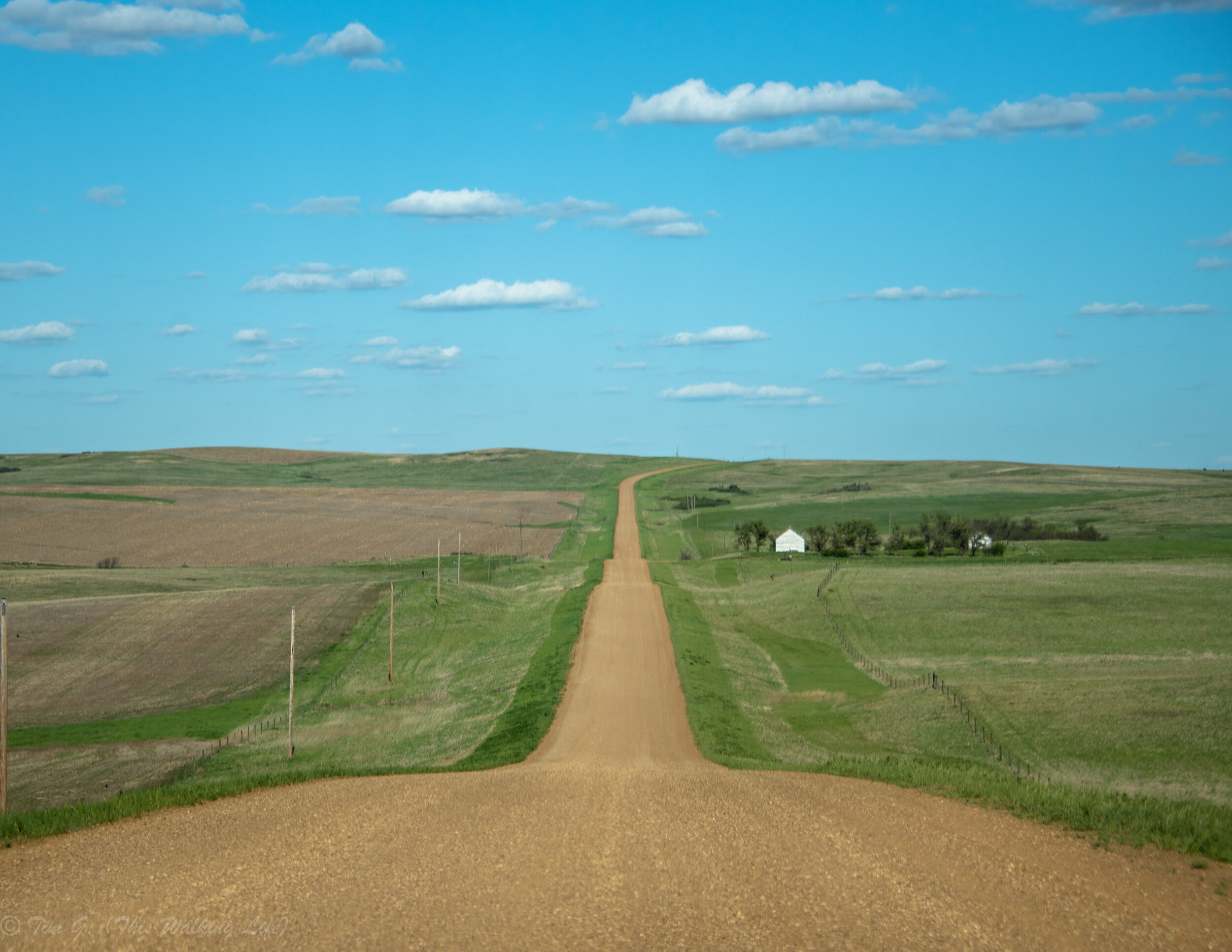
(Scroll through the images above with your cursor to see the roads to the Elkhorn unit)
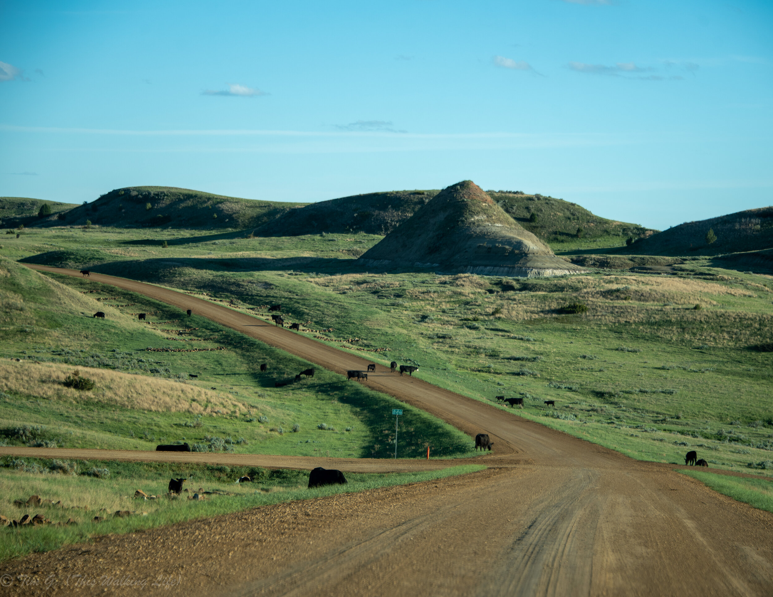
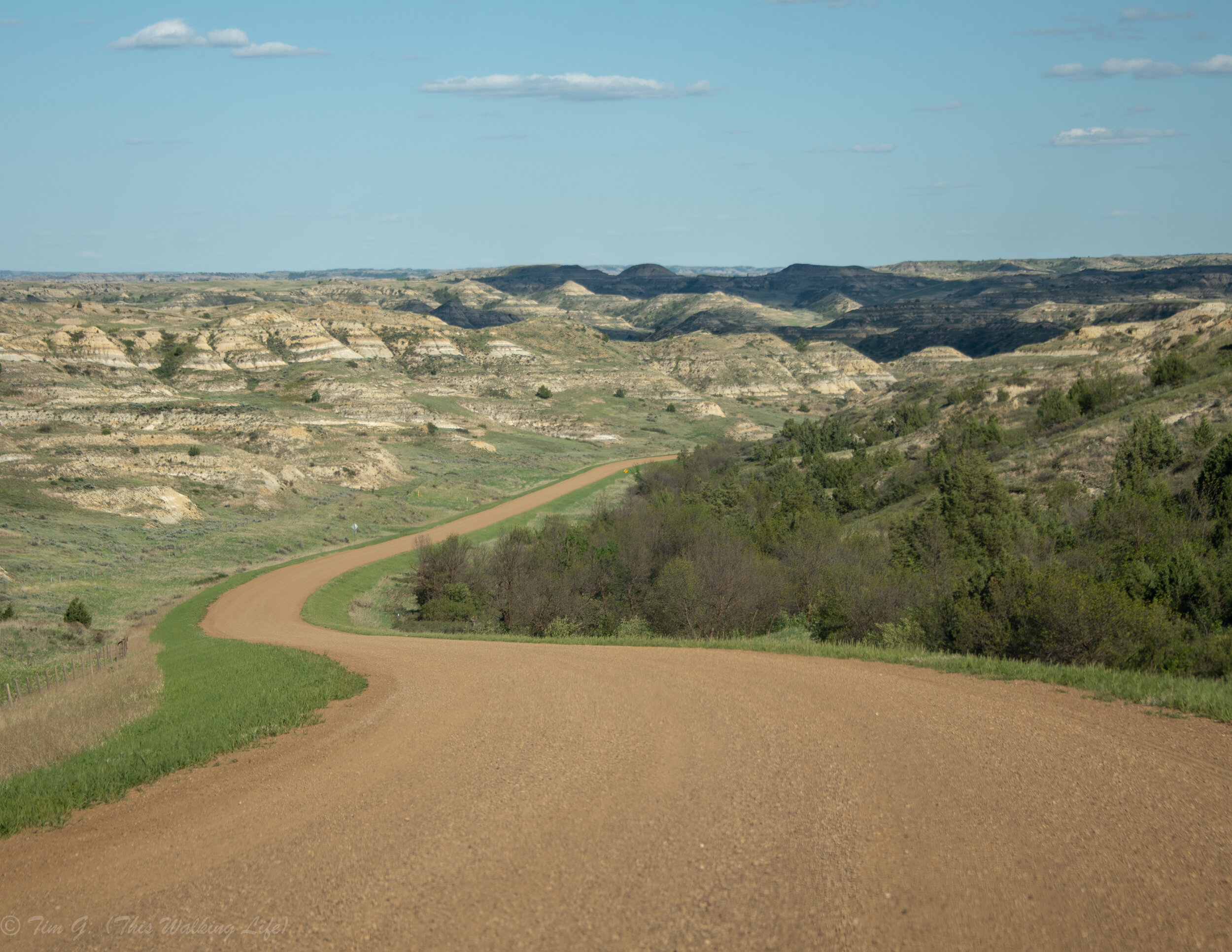
Unlike most National Park sites, this unit has no visitor center, no paved trails or roads, no Scenic drive with pullouts, or really even many signs. To get there requires driving an hour + from Medora (mostly on hilly and poorly marked – but beautiful – dirt roads full of wandering cattle). Once there, you have to turn down a very steep dirt road that is probably a real adventure if there’s been any rain or snow recently. I would not go without at least AWD.

On a section of the Maah Daah Hey Trail in the Elkhorn Unit. This trail (over 90 miles in total) connects all three units and it used by mountain bikers and hikers. Inquire at the visitor center for backcountry permits.
At the end of the road there is a short (0.7 mile) mowed trail to the site where Roosevelt built his ranch house. The house itself is gone, with just a few foundation stones left behind a gated area. Being there all alone made me feel connected to Roosevelt. It was easy to imagine why this place especially called to him in the aftermath of the loss of his wife and mother. It is peaceful and full of life, but also strange and wild. I came on a sunny summer afternoon. The birds, insects, and frog sounds filled air. It was hot in the sun, but refreshing in the shade. The wind played in the grasses and swayed the Cottonwoods boughs. I could see and feel the movement of the Little Missouri River only feet away down an embankment. Looking up, you are surrounded by the otherworldly colorful striations and steep faces of the Badland buttes.

Sitting on a stone at the spot where Roosevelt’s ranch once stood (I think). Honestly, it’s hard to know if this was the exact ranch spot know as signage was almost non-existent. My only critique of this unit was that barbed wire fences prevented any way down to the river.
Hiking
North Unit: The best hiking in the park is in less busy north unit, and if you only have one day, hike Caprock Coulee. It’s not a debate. It’s a 4.4-mile loop that you can either power through in two hours or slowly take in and photograph over a half day as I did. I especially appreciated climbing atop the buttes and the diversity of wide vistas right on the path. This wasn’t one of those “hike to one pretty spot and turn around” paths. It’s a, turn a corner, and be delighted anew path. I’d recommend going counterclockwise around the loop so you end with an extended period of river vistas.

Fading evening light over the Little Missouri from the Caprock Coulee Trail.
The North Unit has two other phenomenal longer trails. First, the Buckhorn Trail (12.2 miles loop), which is a good full day hike rambling through prairie lands right next to and around the Buttes. It’s easy to lose the trail through the grasses, which was actually a plus for me. I appreciated the extra sense of adventure of it. (Be careful of bison, who are plentiful on the trail!) I also really enjoyed getting to examine the geology of the sides of the buttes from up close. The section of trail to the north of the road is much more interesting than the section to the south. Note that there is almost no shade on the trail so it helps to start early in the morning.

Lastly, the Achenbach loop (north unit) is 18 miles of true adventure -- wading across waist high rivers, easy to lose paths in steep areas, way finding, and evading so, so many bison. I was able to hike portions of the trail but not the whole thing. Most people do this as a multi-day backpacking trip. Another way to do a portion of this hike would be with two cars, leaving one at the Juniper campground and the other at the Oxbow Overlook.

South Unit: there’s quite a few good short trails right off scenic loop road. Perhaps the best short hike (<1 mile) is Wind Canyon, which climbs to a beautiful vantage over the Little Missouri.

Other sort (<1 mile) trails right on the road include the Boicourt Overlook Trail and the Ridgeline Nature Trail. If you are looking for a half or full day hike, I’d recommend parking near the Peaceful Valley Ranch and crossing the river to hike either the Big Plateau Trail, Lone Tree Spring Trail, or a portion of the Eklom and Maah Daah Hey Trail (portions of all of these trails overlap) and so the biggest question is the distance you want to go. Lastly, the 10-mile Petrified Forest Trail (which is not accessible from the scenic loop road) is interesting for fossil lovers - though petrified logs are not rare in the park if you know what to look for and are on less traveled trails.

A piece of petrified wood on the side of one of the buttes. When I first saw it I thought it was campfire wood and I was annoyed someone left it there. As I got closer and examined it I was surprised to realize it was actually stone. After finding this one piece, I started seeing them everywhere.
Photography Ideas:
For sunrise, anything along the tops of the Butte in the North Unit is good bet, with the best spots being near the Oxbow Overlook or by hiking out atop the buttes along the Achenbach Trail. These spots are interesting at sunset as well, as the falling sun lights up the west facing buttes with a soft golden glow, though the actual sunset will be happening behind you. For a more traditional sunset view, check out the overlook at the end of the Wind Canyon Trail in the South Unit.

Sunset in the south unit
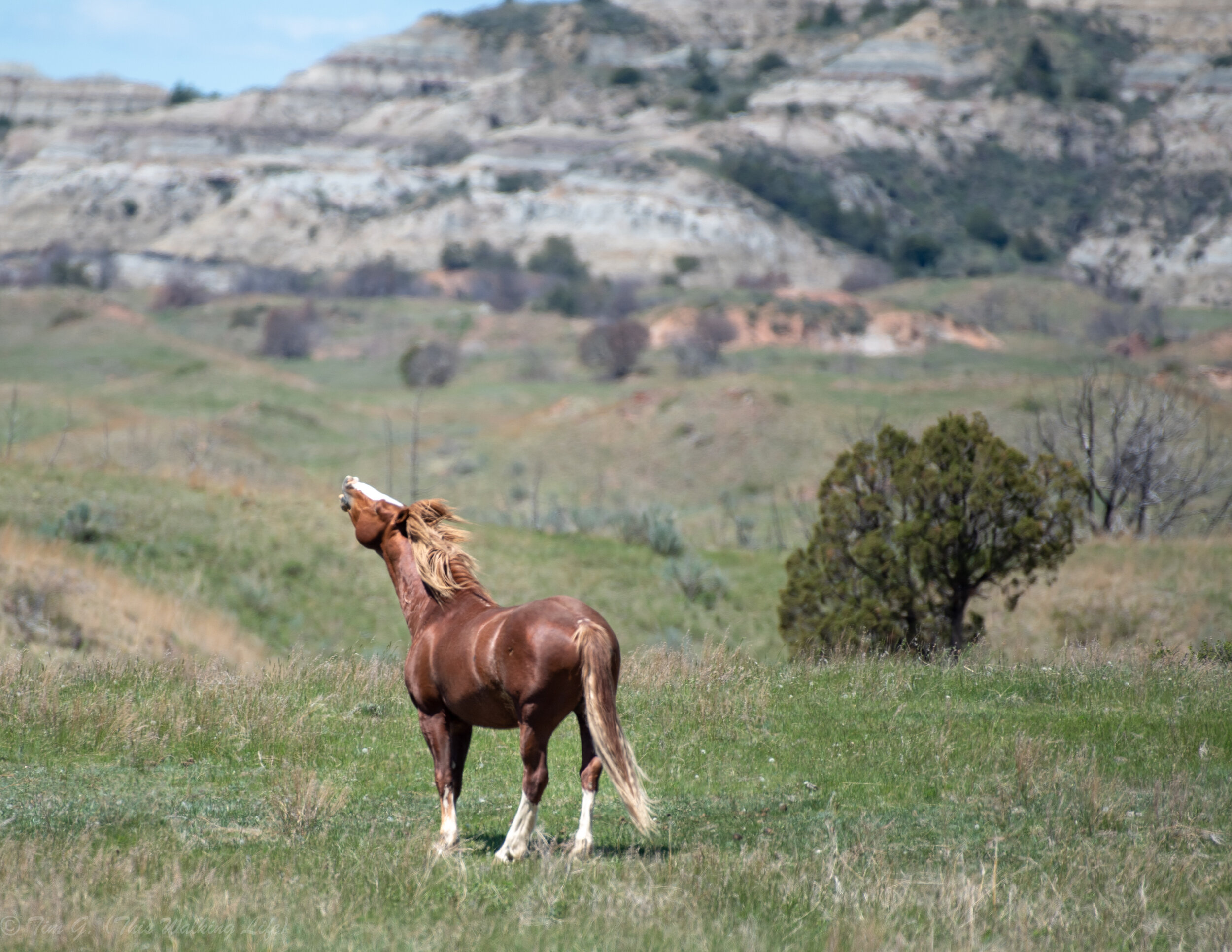
Photogenic wildlife is plentiful is the park, especially the south unit (bison, pronghorn, deer, etc). But what’s unique are the wild horses. I loved photographing them -- sometimes right off the road, sometimes mid hike.
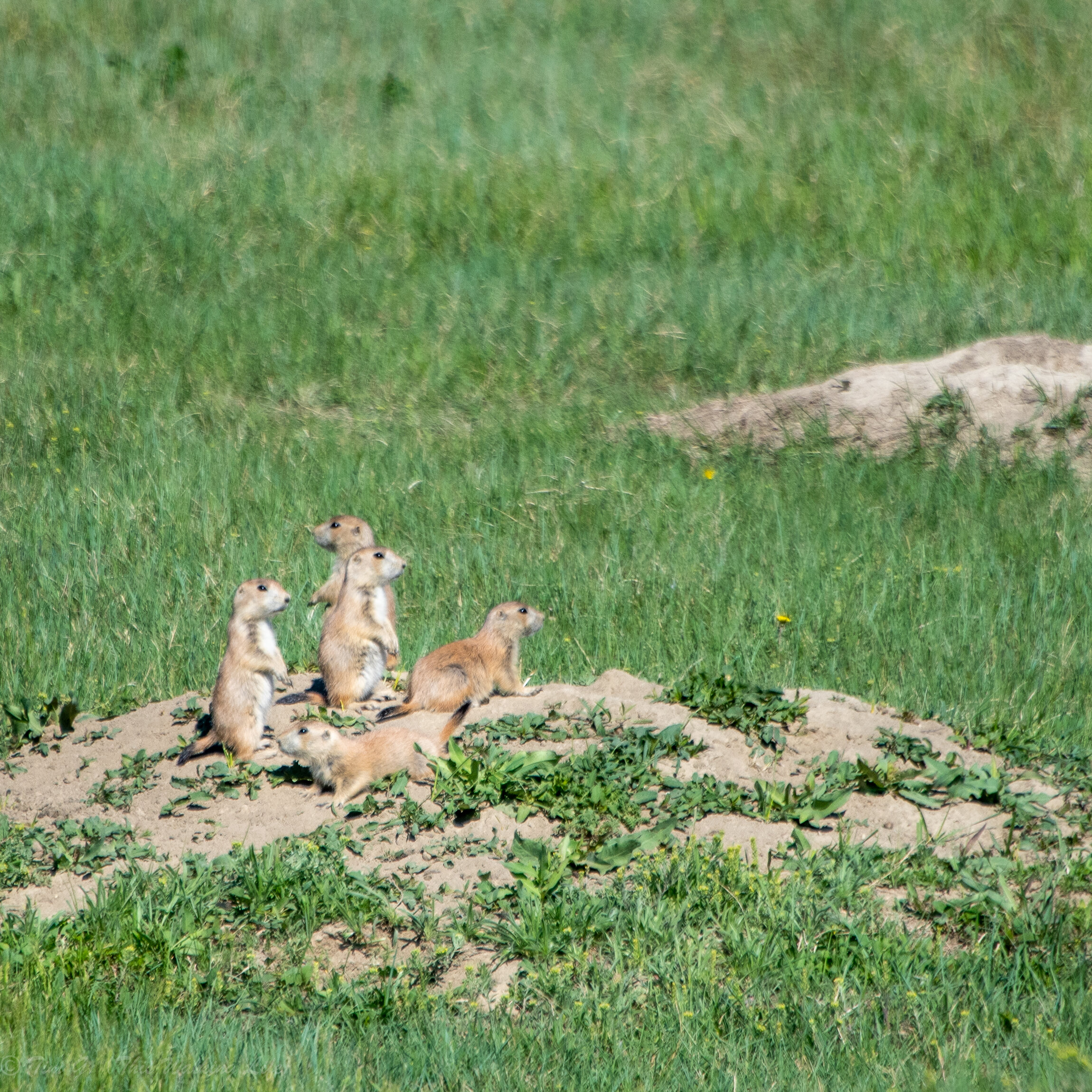
Less majestic, but equally fun, are the prairie dogs, who live in “towns” in many spots right next to the road in the south unit. When you get near they stare at you while standing on their hind legs and yell to their friends. If you wait long enough you can observe them playing with each other, running from hole to hole, and engaging in the silliest of postures.
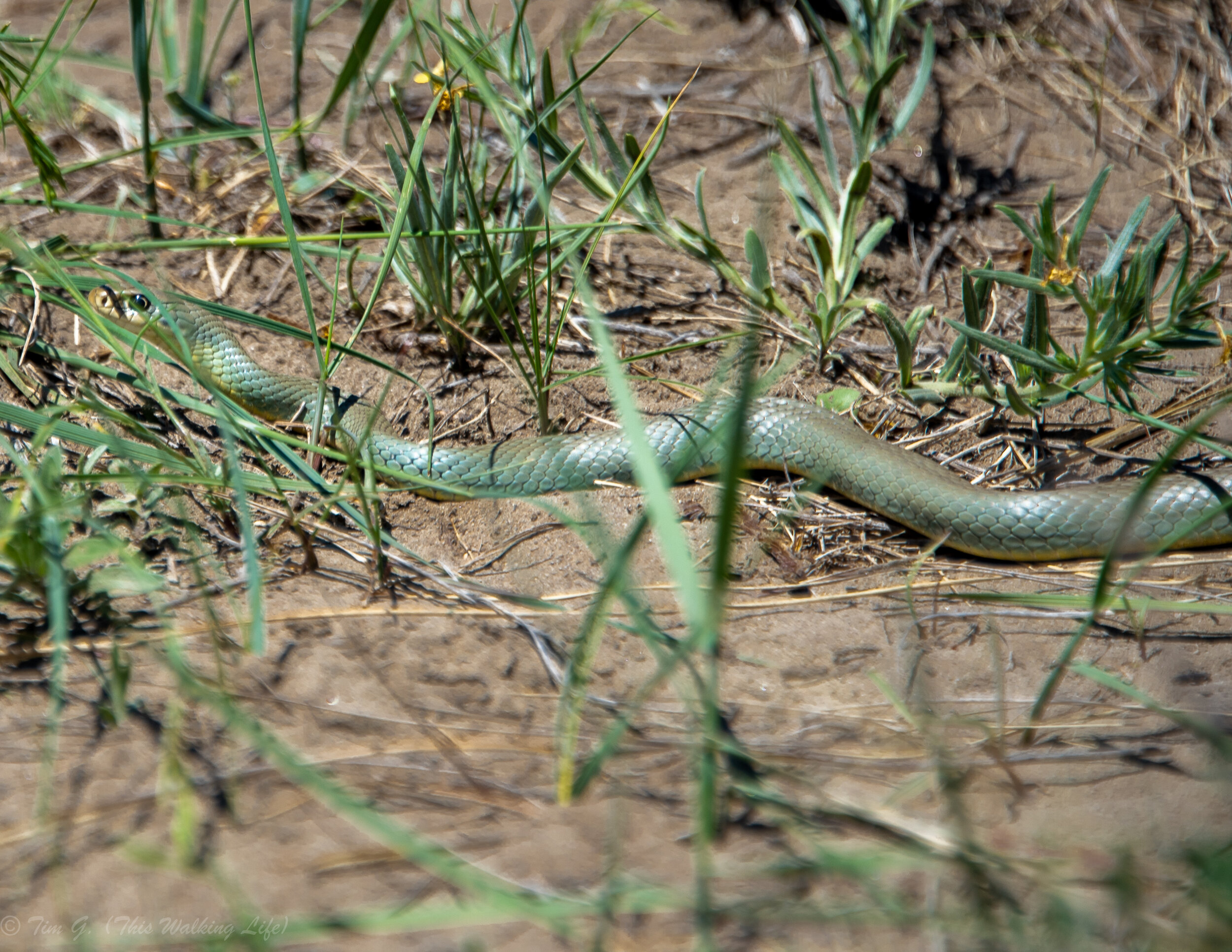
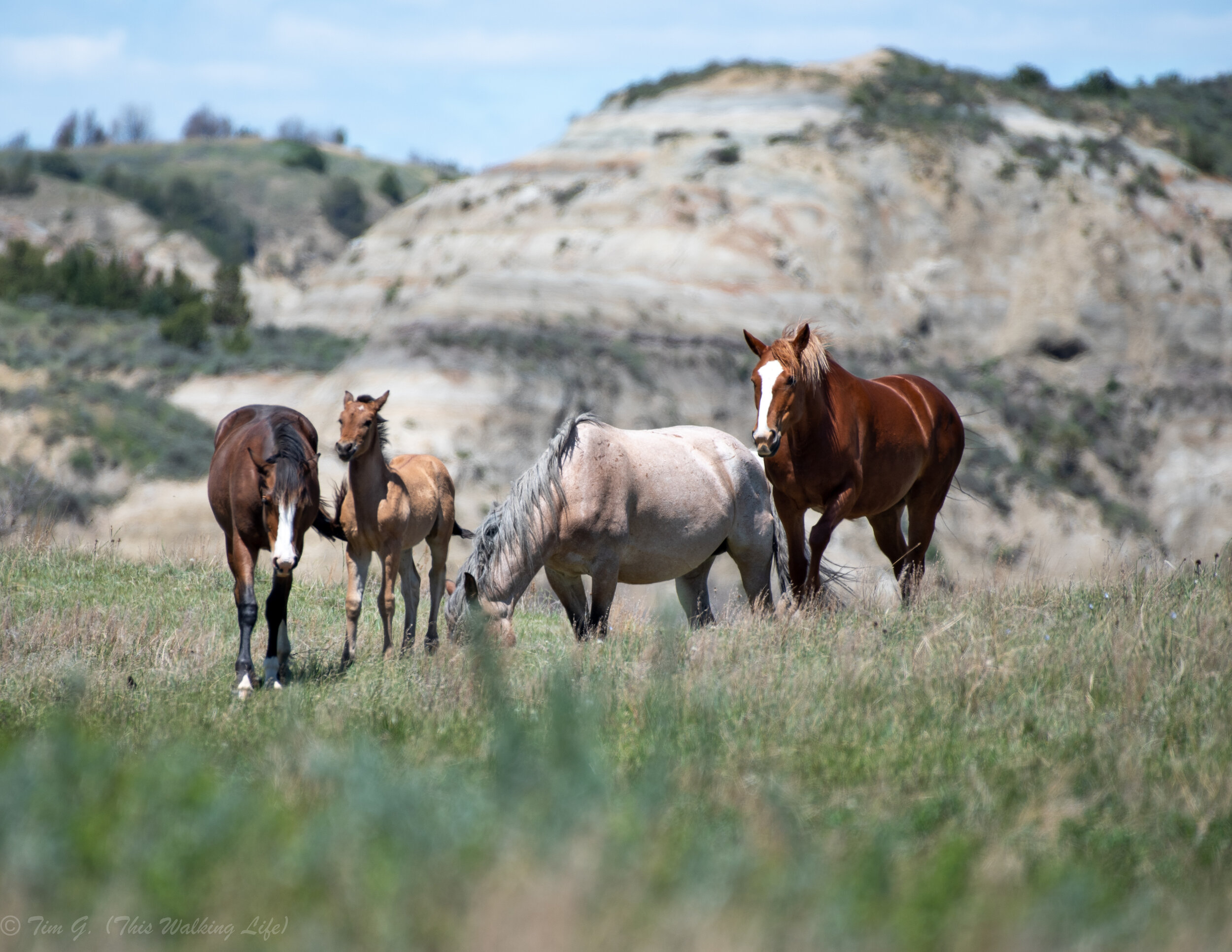
(Scroll through the pictures above to see some of my favorite images of wild horses, bison, prairie dogs, and a snake).
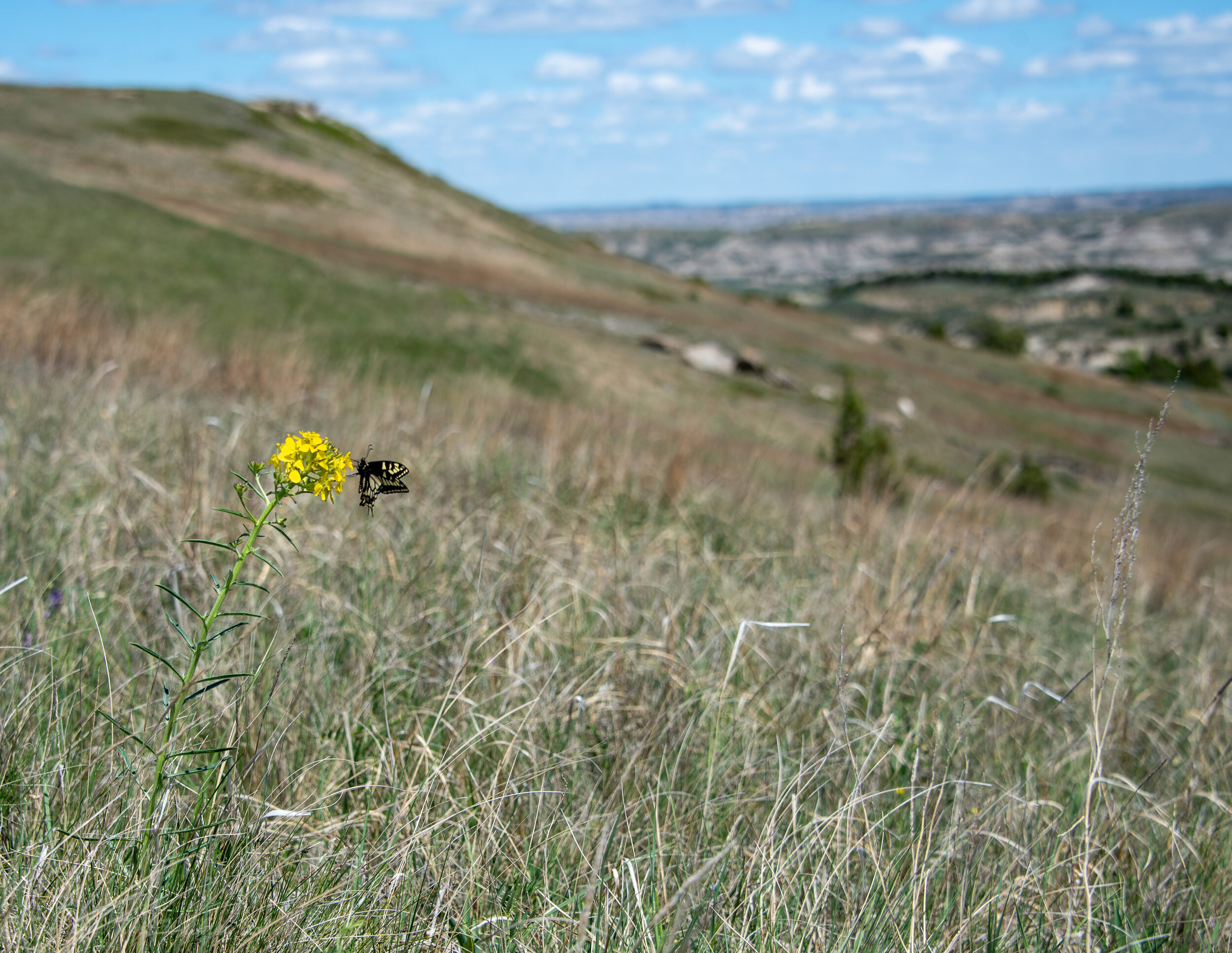
If you are into landscape photography of course, there are so many wide vistas, strange geological formations, and natural colors to shoot – prairie flowers, blooming Cottonwoods, the river, cap rocks, petrified logs, and multi-colored and layered badland rock all scream out to the photographer’s lens. These are plentiful everywhere (right from the road), but some of my favorite geological formations were near the trailhead to Buckhorn Trail across from the entrance to the Juniper campground in the north unit.

While it is tempting to take thousands of wide landscape angle shots of the strange buttes, I found a lot of interesting compositions by focusing in on the texture and colors of small parts of the stone, and the places where contrasting colors came together in layers. On any trail, go up to the side of a butte and challenge yourself to photograph details for 10 minutes. You’ll be amazed how much you discover in the way of strange textures, colors, and life in unexpected places. Be sure to get down to the river in the south unit as well, as I found so many beautiful, color rocks along the bank.

Where to Stay
Camping: No matter which unit you want to explore, there are plenty of camping options (both in and outside the park). Many of these campsites are right on the Little Missouri and have stunning views of the river and badlands. Sadly, when I visited in the spring of 2020 due to Covid-19, all campgrounds were closed for overnight camping, but they were open for picnics so I got to check them out. The Cottonwood Campground (south unit), Elkhorn Campground, and the Juniper Campground (north unit) all seemed very peaceful and beautiful spots. Outside the park there are several campgrounds including Buffalo Gap, Wannagan, and Magpie that were open. Dispersed backcountry camping options available too with a free permit from the visitors center.
Hotels:
South and Elkhorn Units: Medora is the most convenient and fun place to stay, but it’s also more expensive (especially in high season). The nicest hotel in town is the Rough Riders Hotel. There are also a few inns and motels in the middle of the action. If want to spend less, and don’t mind forging the frills and driving a bit more each day, 30 minutes away is Dickinson, which has dozens of cheap hotel and lodging options right off the highway.
North Unit the nearest roadside motels / hotels are in Waterford City. It lacks touristy charm, being a mostly boom-bust-boom-and currently bust oil town, but that actually is interesting in itself too.
I hope you have a wonderful time exploring this beautiful, under appreciated park! As you do, please feel free to write a comment or send me a note with any other hidden gems you find that might be helpful to others.